Scenic experiences around Luray range from a paved creekside route to steeper park trails. This guide organizes them by setting, access, and effort so visitors can compare driving, river, paved-route, and hiking options.
Scenic Driving
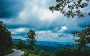
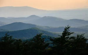
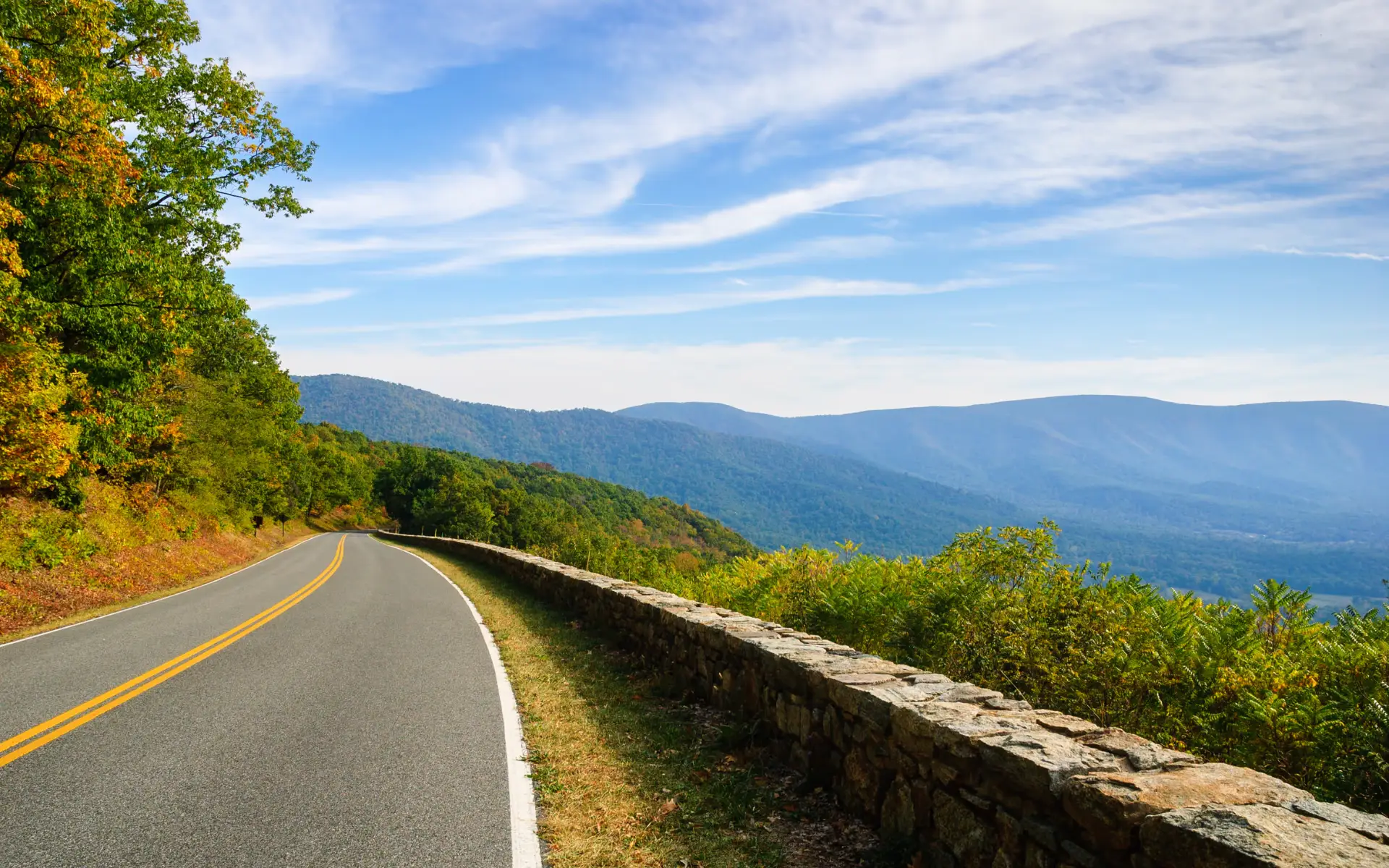
Skyline Drive is the 105-mile road running the length of Shenandoah National Park, with dozens of overlooks toward the Shenandoah Valley and Piedmont. Driving the entire route takes about three hours without stops; a shorter section near Thornton Gap is more realistic for a Luray-based day. The Shenandoah National Park entrance fee applies, and the road itself can close for weather or conditions.
River Scenery
The Shenandoah River offers scenery at water level rather than from an overlook. Shenandoah River Outfitters, based in Luray, runs seasonal tubing, canoeing, kayaking, and rafting trips. Which trip you choose affects how much time you spend on the water and what you see, and conditions vary by route, water level, and season — reserve the specific trip you want and confirm current conditions before you go.
Accessible and Paved Routes
The Luray-Hawksbill Greenway is a paved, roughly two-mile trail along Hawksbill Creek. The Town describes this trail as accessible; trail surface and conditions can still vary, so confirm directly if you have specific mobility needs. Inside the park, the National Park Service describes the Limberlost Trail‘s 1.3-mile crushed-greenstone surface as fully accessible and rates it Easiest. Check current trail conditions and NPS accessibility information for your specific needs.
Shorter Hikes
Stony Man Trail is a 1.6-mile round trip with about 340 feet of elevation gain, rated Easiest by the National Park Service — an estimated duration of about one hour.
More Demanding Hikes
Hawksbill Summit Trail climbs about 690 feet over 1.7 miles to the highest point in Shenandoah National Park; the National Park Service rates it Moderate. Dark Hollow Falls Trail is shorter at 1.4 miles but steeper and rockier underfoot — also NPS-rated Moderate, with about 440 feet of elevation gain. Mileage alone doesn’t indicate how strenuous either route feels — check elevation gain and current conditions before you go.
Walks Outside the Park
Outside the park, Lake Arrowhead offers a one-mile trail, fishing, a playground, and picnic shelters. Leashed pets are welcome, and swimming is not permitted.
Vineyard and Farm Scenery
Wisteria Farm & Vineyard sits on a working farm in Stanley, with an outdoor tasting setting and its own event calendar. Castle Vineyards offers both indoor and outdoor tasting space closer to Luray. The Vintage Barrel at Faithbrooke is a rural Luray-area tasting venue, pouring wine, beer, and cider in one setting. These are operating tasting venues rather than public overlooks, so confirm current public hours and event schedules before visiting.
Before You Go
Trail conditions, road access, and tasting-room hours can change with the season and current conditions. Confirm important details directly, especially for anything inside the park. For more options organized by category, see the Outdoors page.