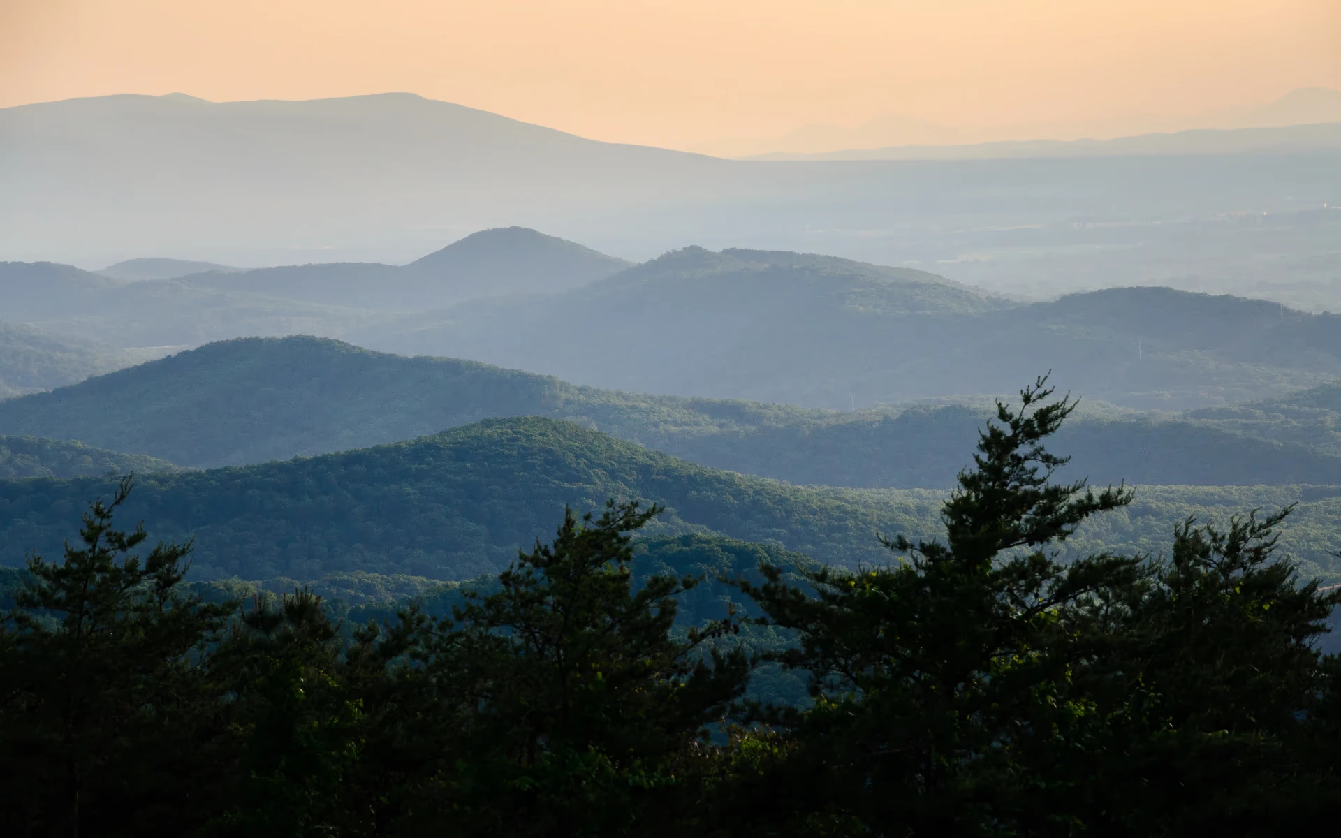
Luray-area attractions are spread across downtown Luray, the surrounding Page County countryside, Shenandoah National Park, and the Shenandoah River corridor. This guide explains how those areas fit together, how much time to allow for a major stop such as Luray Caverns, and how to combine destinations without spending most of the trip in the car.
Where Luray Fits
Luray is the seat of Page County, Virginia, and sits immediately west of Shenandoah National Park. Thornton Gap, on US 211, is the park entrance closest to town — it connects directly to Skyline Drive, the 105-mile road that runs the length of the park. The Shenandoah River is a separate piece of geography from the park itself, running through the valley below, with outfitters based in and around Luray. In practice, this means Luray sits within reach of mountain overlooks, river access, and a walkable downtown — but driving is still required between these areas.
Planning Time for the Luray Caverns Complex
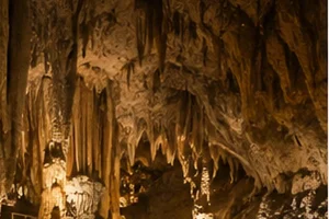
Luray Caverns can serve as one major planning anchor for a Luray-based day. General admission covers more than the cave tour — it also includes the Car & Carriage Caravan Museum, Shenandoah Heritage Village, and Toy Town Junction. Seeing the full complex, rather than just the cave, may take two to three hours.
Combining Park, Caverns, and Downtown Time
Luray Caverns and Shenandoah National Park time can be combined with downtown Luray, which has its own restaurants, arts and entertainment, and landmarks, including the Luray Singing Tower, Art Space on 211, and Page Theater.
Two no-admission outdoor options sit close to town if you want time outside without a drive to the park: the Luray-Hawksbill Greenway, a paved trail along Hawksbill Creek, and Lake Arrowhead, a Town park with fishing, a playground, and a one-mile trail (swimming is not permitted there).
Getting Outdoors Without Overplanning
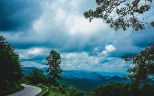
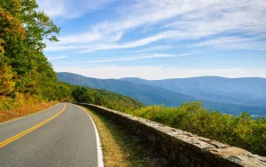
Skyline Drive is 105 miles long and takes about three hours to drive without stops — a shorter section near Thornton Gap is more realistic for a single Luray-based day than the whole road. Inside the park, the National Park Service rates Stony Man (about 1 hour) as Easiest and Hawksbill Summit (about 1 hour 15 minutes, the park’s highest point) as Moderate. An NPS difficulty rating does not replace checking the route details, trail surface, current weather and trail conditions, and your own ability before you go. Shenandoah River Outfitters runs seasonal river trips based in Luray, with duration depending heavily on which trip you book.
Where to Eat and What to Reserve
Luray’s restaurant scene is concentrated downtown. Chop House Bistro and PORCH+VINE both encourage dinner reservations. Check current availability before building the evening around either restaurant. See the Eat & Drink page for the full breakdown by meal and experience.
A Note on Hours and Verification
Business hours, park conditions, river operations, recitals, and tasting-room schedules all vary and should be confirmed directly before you build a day around any one of them.
Ready-Made Plans
If you’d rather follow a ready-made starting point than build your own, One Day in Luray is a full day already sequenced around the Caverns, the Greenway, and downtown. Build My Day generates a plan from your own answers about time, interests, and pace instead.